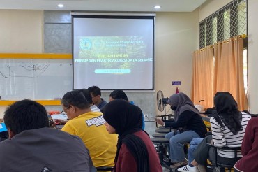
The Geophysics Study Program, Faculty of Mathematics and Natural Sciences (FMIPA), Universitas Tanjungpura, conducted a Ground Penetrating Radar (GPR) Training on 23–24 December 2025. The training was held at the Geophysics and Geographic Information Systems (GIS) Laboratory and was specifically designed for lecturers and laboratory staff of the Geophysics Study Program.
This training was part of an ongoing effort to enhance human resource competencies in the management and utilization of geophysical instruments, particularly GPR, in order to support practical teaching activities and the development of applied geophysics research.
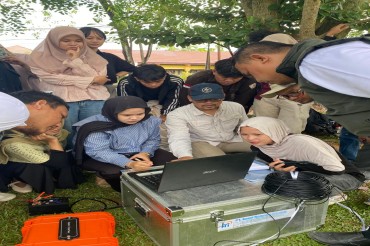
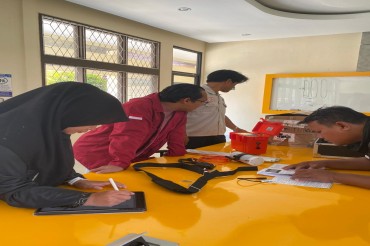
On the first day, the training focused on the technical introduction to GPR equipment, including instrument assembly, software installation, and the use of GPR software for data acquisition and visualization. This session aimed to ensure that participants gained a comprehensive understanding of the instrument’s operating system prior to field application.
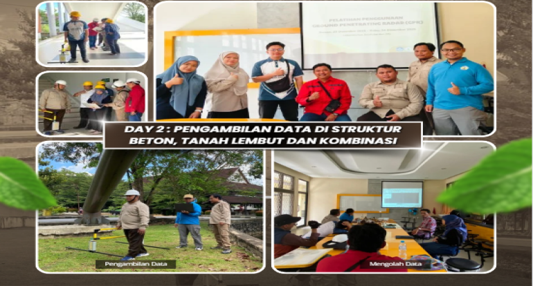
The second day of the training was dedicated to hands-on practice, including GPR data acquisition on concrete structures and soil media around the laboratory area. The acquired data were subsequently processed and analyzed using specialized software, allowing participants to gain practical experience from field data collection through to subsurface data interpretation.
Through this training activity, it is expected that lecturers and laboratory staff of the Geophysics Study Program FMIPA UNTAN will be better prepared to support practical learning activities, strengthen laboratory capacity, and advance applied geophysics research that is relevant to real-world needs.