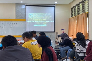
Karta Beach, April 26–29, 2025 — Students from the Geophysics Study Program conducted a four-day field study from Saturday to Tuesday (April 26–29, 2025) at Karta Beach and its surrounding areas. This activity is part of the academic curriculum aimed at sharpening students' practical skills in measurement, data acquisition, and the direct application of geophysical and environmental analysis in the field.
This year’s field study integrated six core modules, including:
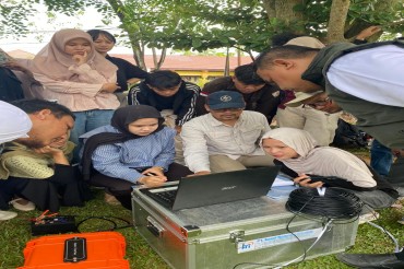
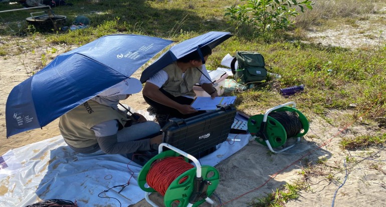
✔ Geoelectrics, conducted in the open area of Karta Beach to identify subsurface characteristics using the resistivity method.
✔ Self Potential, carried out in the same area to detect underground fluid flow through natural potential measurements.
✔ Geology, involving the observation of rock structures and lithology in the hills near the beach to understand the geological history of the area.
✔ AWS (Automatic Weather Station), installation of a weather monitoring device at Karta Beach to observe atmospheric parameters.
✔ Tides & Ocean Currents, measuring tidal changes and current patterns to support marine and coastal dynamic studies.
✔ Sediment Trap & Flow Meter, used to analyze sediment transport and water flow velocity in coastal zones.
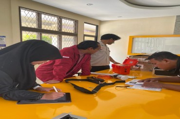
The fieldwork involved students, supervising lecturers, teaching assistants, and several volunteers who supported the setup of instruments, data collection, and on-site discussions.
In addition to serving as a practical learning platform, the field study also strengthened teamwork, attention to detail, and the students’ ability to compile scientific reports based on primary data.
The 2025 Geophysics Field Study is expected to serve as a strong foundation for students in understanding the connection between theory and real-world applications in geosciences—especially in the context of coastal environmental management.
The documentation of the 2025 Field Study Program can be viewed at the following YouTube link:
https://youtu.be/72rgqjKuPkY?si=tZMTCYNKFRi4gFeF