West Kalimantan is one of the provinces in Indonesia that has diverse natural resource potential both contained on land and buried in riverbeds and estuaries. In addition, the position of West Kalimantan which is located on the equator has a distinctive atmospheric character to be studied in more depth. The natural resources of a region can contribute greatly to the improvement of the local, regional and national economy. On a local scale, natural resource management that applies science-based technology can contribute to improving the welfare of the community, especially in West Kalimantan. On a regional scale, good natural resource management can provide great benefits for the community, such as the availability of employment opportunities, increasing regional income, community development, creating facilities and infrastructure, and minimizing gaps between regions. While on a national scale, it can make a positive contribution to national income. Therefore, studies and technology development related to the utilization of natural resources on land and water, as well as typical atmospheric conditions in the equatorial region must continue to be carried out continuously and professionally. Geophysics Study Program, Department of Physics, FMIPA Untan is present in order to study and develop science and technology to utilize the natural resources of West Kalimantan through the implementation of education and studies related to the field of Geophysics. The efforts made by PS Geophysics to contribute positively in accordance with its field have been proven by a good assessment from the National Accreditation Board of Higher Education (BAN-PT) which has given a B (Excellent) rating to PS Geophysics based on BAN-PT Decree No. 2272/SK/BAN-PT/Akred/S/VII/2019 valid from July 9, 2019 to July 9, 2024.
FIELD OF STUDY IN GEOPHYSICS
The field of study in the Geophysics Study Program consists of:
PROFILE OF GRADUATES
The profile of graduates of the Geophysics Study Program is a bachelor of science who is able to provide solutions to problem solving according to scientific principles and academic ethics based on Geophysical concepts, analyzing developments in the fields of earth science, atmospheric science, and river and estuary hydrology.
The graduate profile of PS Geophysics is able to work as:
1. Research Assistant.
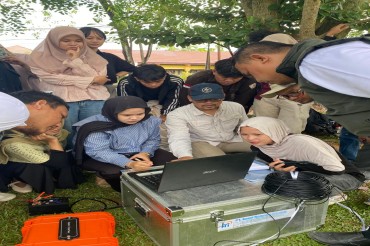
Graduates of the Geophysics Study Program have basic expertise in the field of geophysics with which they can assist researchers in universities, research institutions (LIPI, BMKG, LAPAN), government agencies (ESDM, BPBD) and industry.
2. Surveyors.
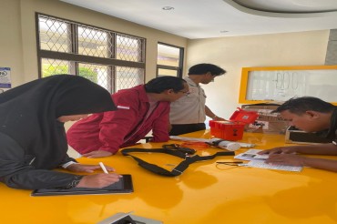
Graduates of Geophysics Study Program are given competence in various geophysical methods so that they can design and conduct field surveys.
3. Consultant.
Graduates of Geophysics Study Program are given competence to analyze, model, interpret and make conclusions based on geophysical methodology.
4. Practitioner.
Graduates of Geophysics Study Program are equipped with good geophysical knowledge so that they can become practitioners who follow the development of contemporary geophysical science and can provide solutions to geophysical problems faced.
In addition, graduates of PS Geophysics can become entrepreneurs, teaching staff, or work in other related fields and can also continue to a higher education level so that they can play a role as academics, lecturers, and researchers.